Harness the Power of BVLOS Drone Technology to Extend Your Aerial Contracts
If you’re looking to maintain or expand your aerial service contracts without inflating operational costs, Beyond Visual Line of Sight (BVLOS) drone technology is your ticket. By integrating long-endurance drones like the JOUAV CW15 and CW25—equipped with powerful sensor payloads for multispectral, thermal, or LiDAR imaging—businesses can deliver high-quality data while reducing fuel, pilot, and maintenance expenses. Below is a snapshot of how BVLOS capabilities bolster your bottom line and keep clients committed.
What Is BVLOS and Why Does It Matter?
BVLOS (Beyond Visual Line of Sight) refers to operations where drone pilots fly outside direct visual range, typically under specialized regulatory approvals. By removing the line-of-sight constraint, flight distances and mission scopegrow exponentially—especially handy for large-scale inspections, search and rescue tasks, and mapping projects. For more insights on FAA guidelines, see the official regulations.
Key BVLOS Benefits:
- Extended Coverage for big infrastructure or remote zones
- Safer Operations with fewer flight-related risks
- High-Volume Data Collection for comprehensive reporting
Why BVLOS Drones Help You Retain Contracts
Traditional helicopter ops are costly, reliant on an aging pilot pool, and subject to rising insurance premiums. Deploying BVLOS drones keeps your service competitive and cost-effective, letting you meet client needs without sacrificing flight range or data quality. Read how this works on our Helicopter Operators page.
Business Advantages:
- Lower Fuel & Maintenance Costs than manned aircraft
- Enhanced Safety with no pilot risk
- Scalable Fleets—easily add more drones without recruiting new pilots
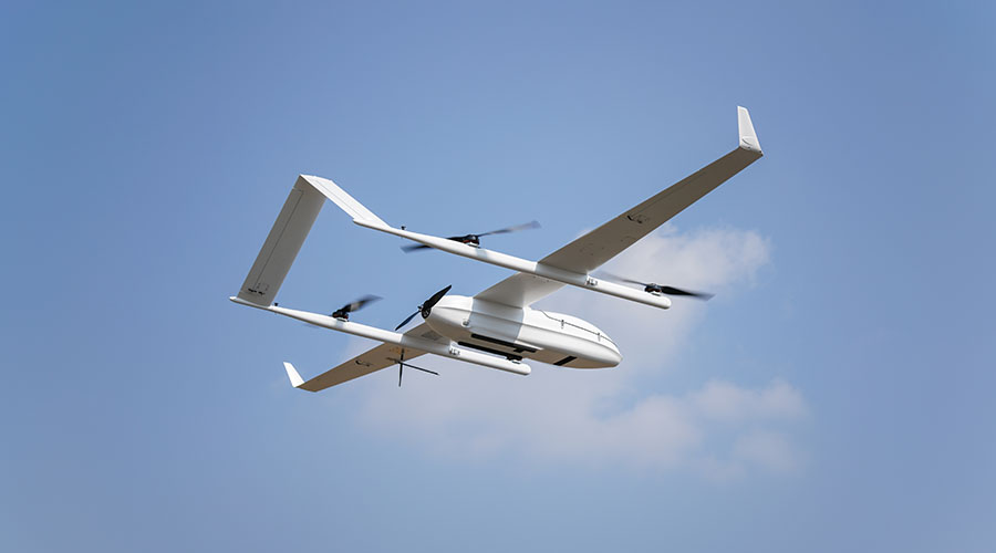
Meet the CW15 & CW25: Long-Endurance Allies
Our Drone Package features the JOUAV CW15 and CW25, both engineered for BVLOS operations. With flight times reaching 360 minutes on minimal fuel consumption, they not only trim expenses but also expand mission scope. For detailed specs—like payload capacity and autopilot systems—visit our Equipment Capabilities section.
Drone Highlights:
- Flight Endurance up to 6 Hours
- Multiple Sensor Support (LiDAR, thermal, multispectral)
- Failsafe Protocols including autonomous return-to-home
Versatile Sensor Payloads for Any Mission
Our Sensor Payloads include high-resolution cameras, thermal imagers, multispectral, and LiDAR systems—each designed to capture specialized data for industries like power & utilities, oil & gas, solar farms, and search & rescue. By consolidating various sensor feeds in one flight, you’ll reduce your operational footprint while gaining a rich, actionable data set.
Popular Sensor Choices:
- Thermal Cameras for detecting hot spots in critical infrastructure
- LiDAR for precise 3D mapping
- Multispectral for agricultural or environmental assessments
Robust Flight, Mapping & Surveillance Software
Tying all the hardware together is our Software suite, which simplifies flight planning, mapping, and live surveillance. Designed to handle BVLOS missions, it offers failsafe protocols, real-time data streaming, and automated processing to deliver quick, reliable insights. For more in-depth technical details, visit JOUAV’s Software Page.
Lock In Your Contracts for the Long Haul
Embracing BVLOS drone operations gives you a future-ready aerial platform with minimal disruption to existing contracts. Lower overhead, fewer pilot constraints, and a flexible sensor suite allow you to over-deliver for clients, securing your position in an evolving market.
Ready to Future-Proof Your Aerial Services? Contact Us to explore how BVLOS drones like the CW25 can revolutionize your business and keep you soaring above the competition.
